COURSES.

GO OUT.
COME BACK.
GO AGAIN.

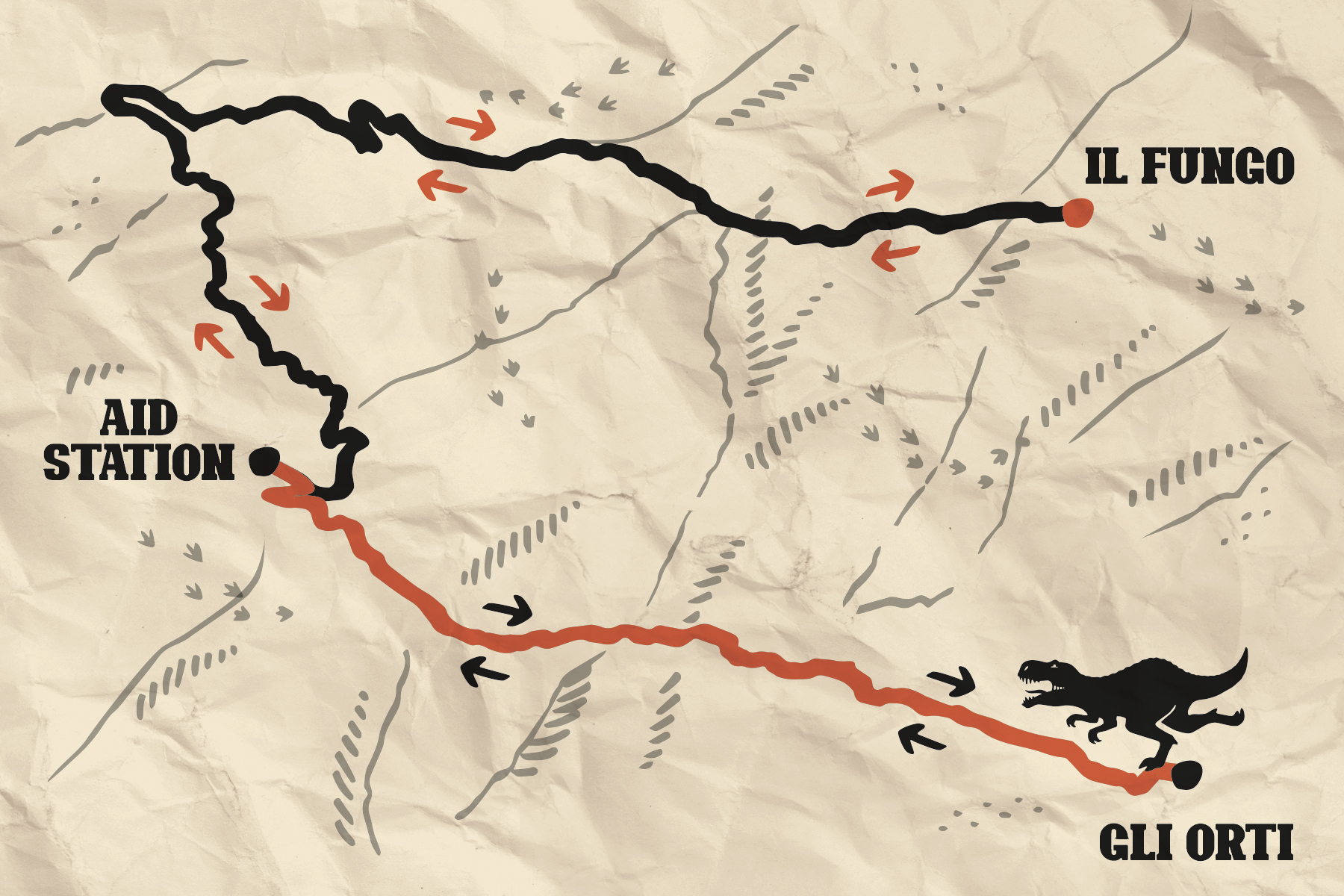
Two Out & Backs. Two directions. One place to return to: the Aid Station.

GLI ORTI · 10,8 KM IL FUNGO · 12,3 KM
Mappa Jurassic Miles con Aid Station, Gli Orti e Il Fungo

ONE LOOP. ONE BASE. YOU.

TWO SECTIONS.
ONE HEART.

Jurassic does not run in circles.
You leave the Aid Station, tackle one section and return. Then you set off again in the opposite direction.

The base is always there: aid station, drop bag, crew, volunteers.
Your fixed point while everything else changes.

01 / OUT&BACK

FIRST SECTION

GLI ORTI.
10,8 KM
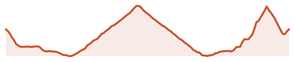
Profilo altimetrico Gli OrtiBASETURN

This is Jurassic’s most runnable section. From the Baita, the route descends towards the Orti di Serravalle forest road, a natural balcony overlooking Vallagarina and the huge boulders of the Lavini di Marco, a landscape traditionally said to have inspired Dante Alighieri.

The first part is mostly flat and gently downhill. Then the terrain changes and a steady, gradual climb begins towards the Orti di Serravalle.

This is the turnaround. Then you head back.

FORMAT
OUT & BACK
DISTANCE
10,8 KM
ELEVATION GAIN
275 D+
RETURN
TO BASE
02 / OUT&BACK

SECOND SECTION

IL FUNGO.

12,3 KM
Profilo altimetrico Il FungoBASETURN

From the Baita, the route immediately enters the Dinosaurs’ Tracks area before heading decisively north-east.

Black pines, oak woods and rock walls accompany the climb to Sorgente del Prà. From here, the route continues over gentle rolling terrain, passes the Fungo di Albaredo and reaches the highest forest road overlooking Vallagarina.

Then you turn around and head back to base.

FORMAT
OUT & BACK
DISTANCE
12,3 KM
ELEVATION GAIN
340 D+
RETURN
TO BASE
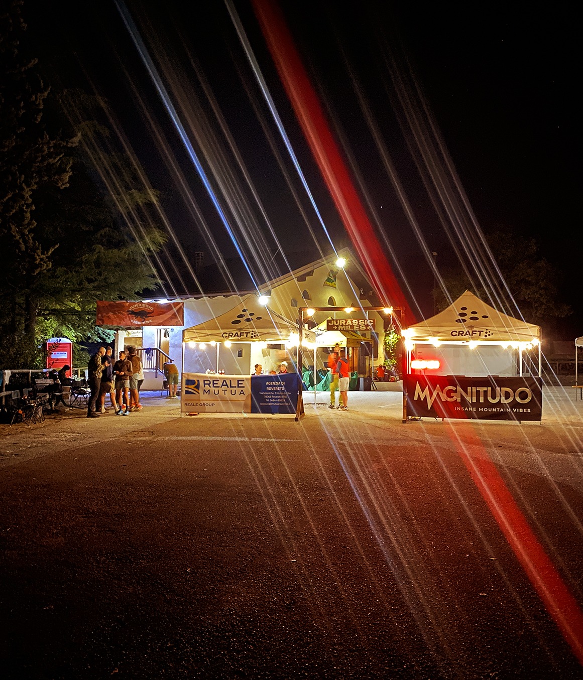
Base e Aid Station Jurassic Miles

THE ZERO POINT.

THE BASE IS NOT A STOP.
IT IS PART OF THE COURSE.

Every return breaks the distance into something human. Here you find your gear, the aid station and the people sharing the journey with you.

GO OUT→RUN→COME BACK→GO AGAIN

CHOOSE HOW FAR TO GO.

SAME COURSE.
DIFFERENT NUMBERS.

100M

160 KM

7 LOOPS · 4,300 M+ APPROX.

MAX 32H
50M

80 KM

3 LOOPS + 1 OUT & BACK · 2,150 M+ APPROX.

MAX 16H
23K

23 KM

1 LOOP · 615 M+ APPROX.

MAX 13H

READ THE COURSE.

NOT JUST
KILOMETRES.

01

ROUTE

Two Out & Backs. Two directions. One place to return to: the Aid Station.

02

ELEVATION PROFILE

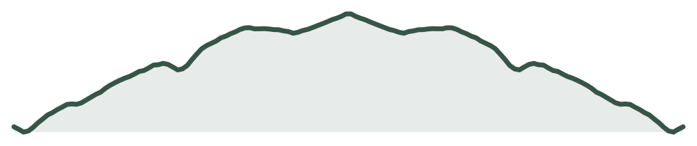
23.2 KM · 826 M+
447 M → 824 M

Profilo altimetrico completo Jurassic Miles

ONE STEP AFTER ANOTHER.

NOW YOU KNOW WHERE.
YOU DECIDE HOW FAR.